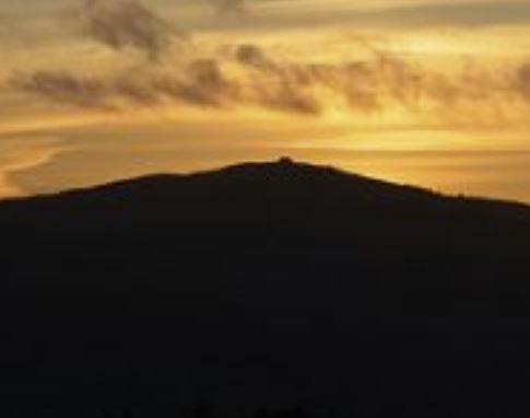
Moel Famau Direct - 5.1 miles to summit

5.1 miles from the village centre to the top. Very steep in places. To download a full description select HERE
Summary
The walks up Moel Famau are very popular and clearly marked. This 5 mile route is marginally the shortest way from the Village Centre to the top of Moel Famau, but the main attraction is that it avoids main roads.
You will need at least to double this for the round trip back. Moel Famau is a more serious undertaking thanthe more local walks, so make sure you and your party are properly equipped and the weather is suitable.
Follow the Coed Cefn Bychan walk to arrive at its point [6] (see detailed description). Turn right at “T” junction at top of lane from the ford. After about 500 yards, just past Bryn Alyn, a tarmac lane on the left can be seen heading straight upwards for about 200 yards before bending left.
Follow this lane (ignoring other footpath signs to right), until it changes to a rough track at Brithdir Mawr (built 1589). Follow what can be a wet and muddy track over a stile and across a stream towards the forest plantation. On reaching the trees, a sign at a pair of stiles points right to the steep ascent that lies ahead.
The first part, through the forest is the steepest, but , apart from one small, muddy dip, it is relentlessly upwards all the way with a number of false summits.
If you are not familiar with the mountain make a mental note of the final stile you crossed on arrival at the summit plateau. It is quite easy to select the wrong route for descent.
Return Routes (not all shown on aerial photo in detailed description)
This same route in reverse is a quick way down from Moel Famau providing you are comfortable with descending steep gradients.
The most popular way is the obvious main track which can be clearly seen running south along the edge of the ridge as it winds its way relatively gently down to the car-park at Bwlch Pen Barras. Turn left at the car park and walk back to join the Coed Cefn Bychan walk at point [8] (Tafarn y Gelyn). (There is a footpath
on the hillside just above the road for part of the way.) Distance from summit back to Village Centre using this route is about 5 3⁄4 miles.
Alternatively, from the summit, between the main track and the route you took up, a further stile takes you down a steeper but shorter track emerging at the toilets and car-park a bit further down from Bwlch Pen Barras on the road to Tafarn y Gelyn. Distance from summit back to Village Centre in this case is about 5 1⁄4 miles.